What is Restor?
A platform to showcase your efforts, and to support the communities protecting and restoring nature.
Whether you are gardener, farmer, run a restoration project or manage global investments - with Restor you can contribute to the regenerative use of the land we depend on.
Trusted by


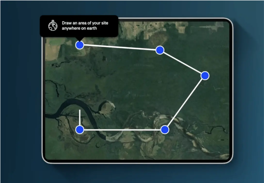
Get site level insights
Upload or draw your site to get access to 35+ data insights on biodiversity, carbon, water and land use.
Publish your site or sustainable business to become a visible part of the movement, and engage with a community of people working to protect and restore nature for more sustainable livelihoods.
Draw an area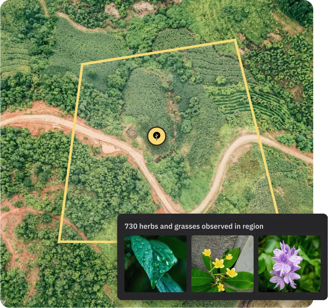
Report on your impact
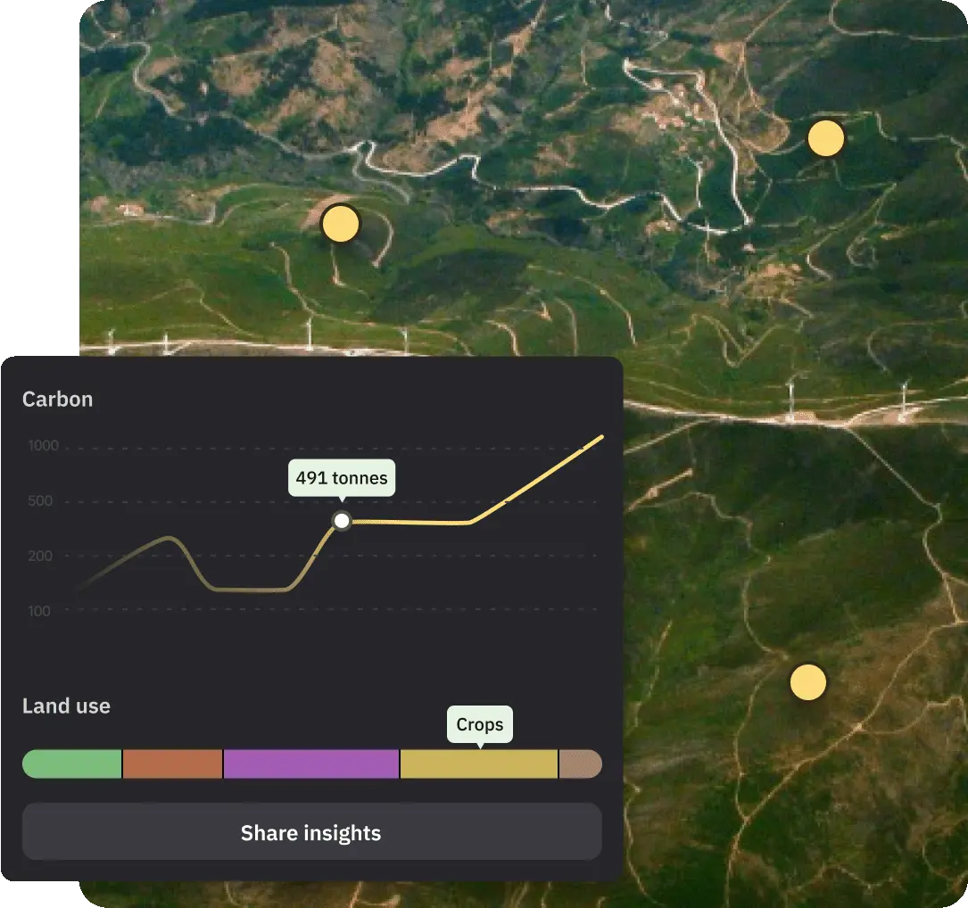
Every organization has an impact on nature. Our cutting edge geospatial technology allows you to map your sites or operational supply chain, tell your impact story, and get access to aggregated analytics of your impacts on nature.
You can choose from the best available biodiversity, carbon, water and land-use change data sets. Analytics are calculated instantly, no matter the scale, and you can transparently disclose them to key stakeholders at the click of a button.
View plansFind projects
Scale your organization’s nature programmes and business models with high-quality nature partners and projects. Using Restor’s advanced search functionality you’ll find it easy to discover community-driven projects that prioritise biodiversity for wellbeing in the world’s largest network of nature protection and conservation projects.
View plans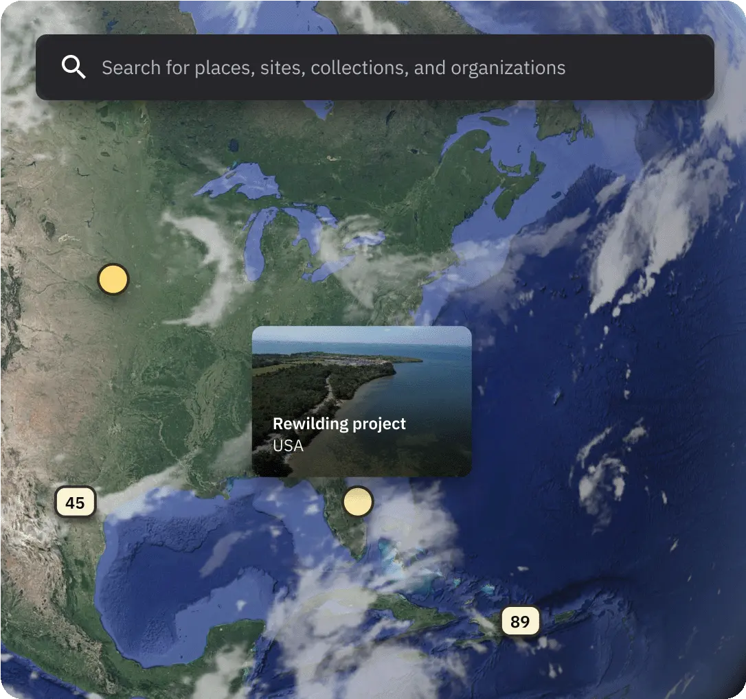
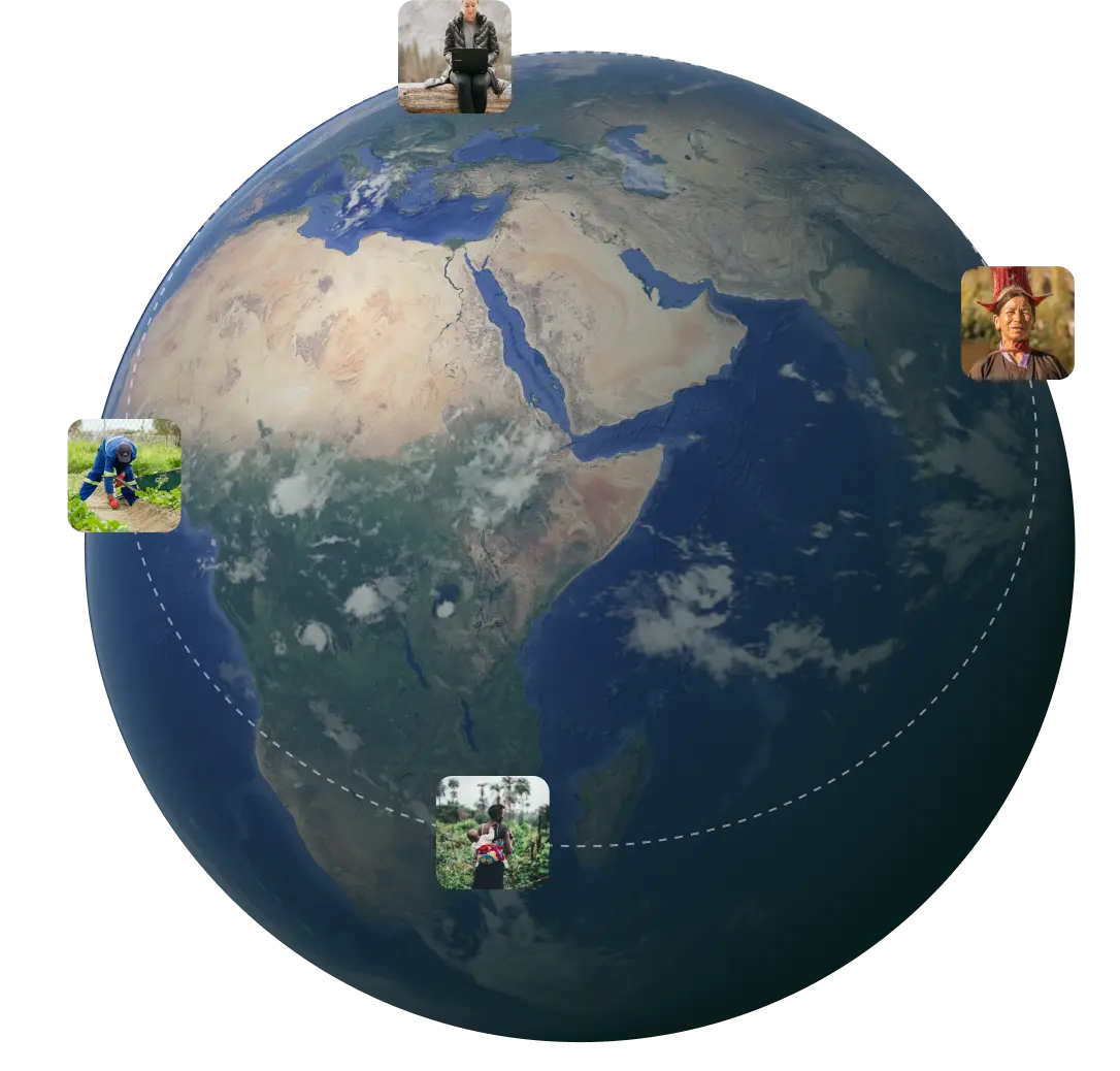
Connect to collaborate
- Invite as many team members as you like to collaborate with you on your project showcase
- Invite your nature partners to Restor and link to their profiles to visualise your network
- Reach out to other organizations and projects for collaboration opportunities
Already available in 7 different languages
Make it easier for your global partners to onboard with one of the following language choices: